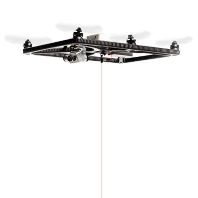
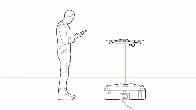
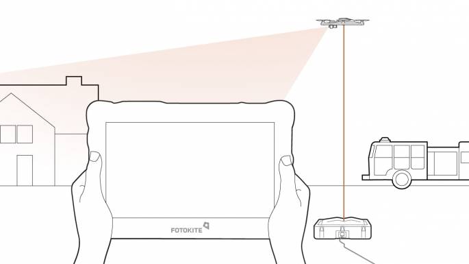
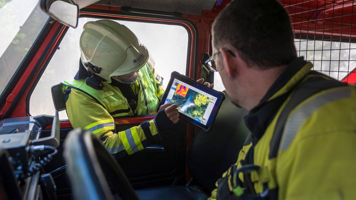
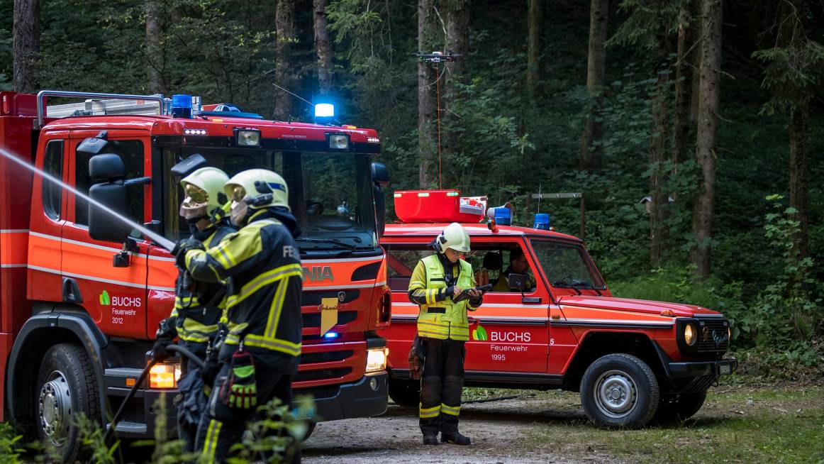
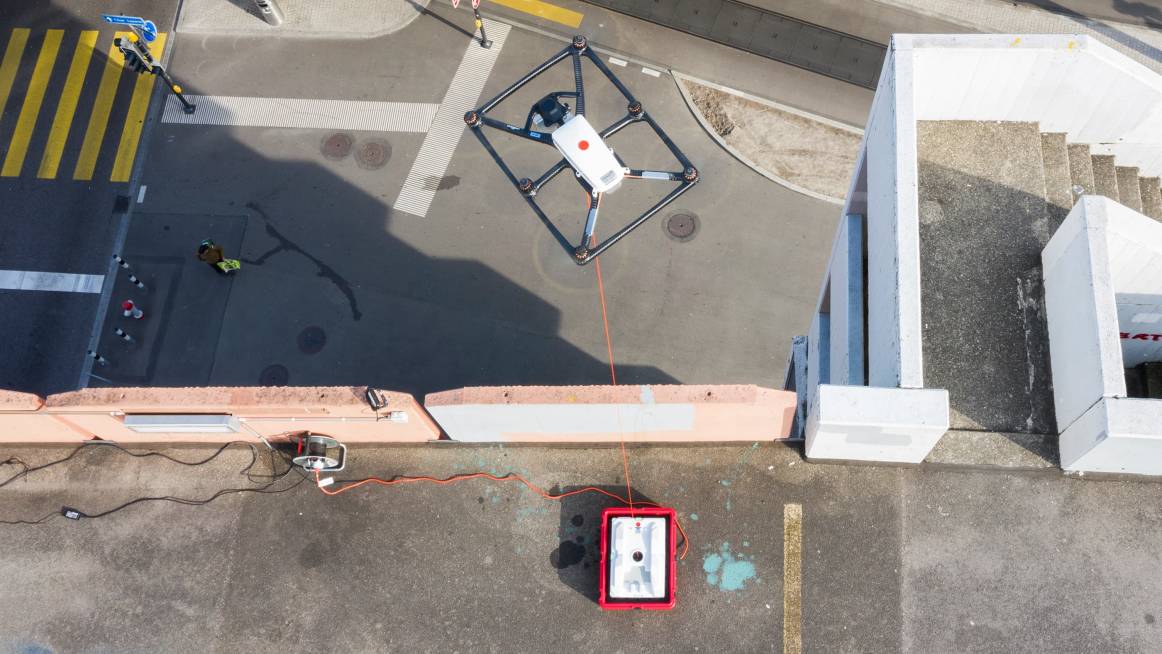
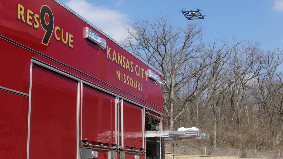
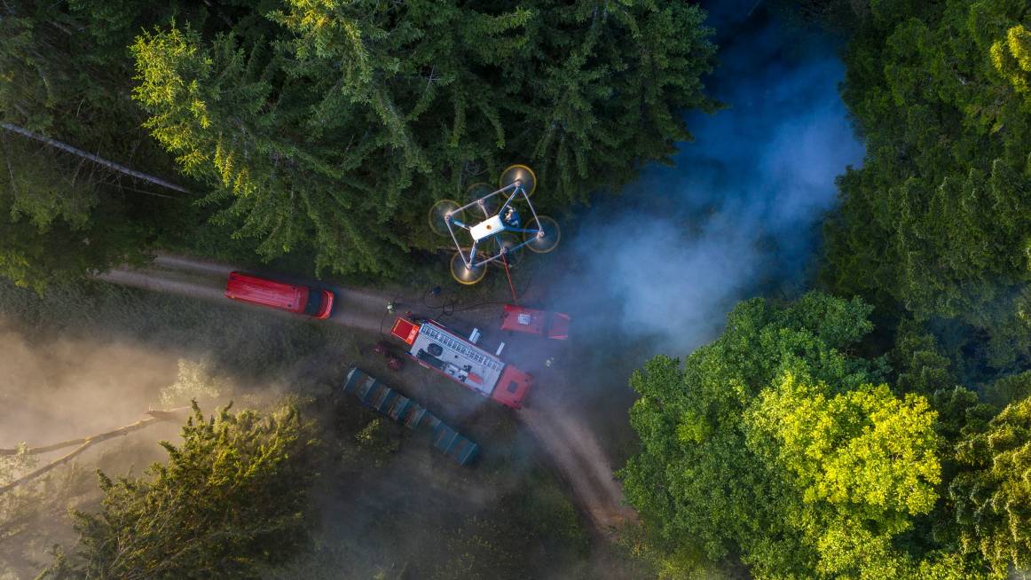
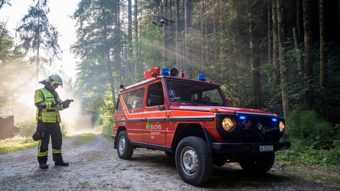
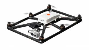
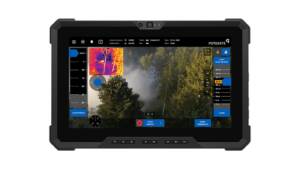
The Fotokite Sigma consists of the Ground Station and the Kite. A tablet or computer runs the Fotokite Live App which shows the real-time thermal and low-light video streams, giving teams actionable information throughout their mission safely and reliably; no piloting necessary.


| Flight Time | 24 hours continuous (as long as vehicle is running or plugged into shore power) |
| Warranty | 1-year / 200 flight hours, with optional extended warranty available |
| Servicing | Over-the-air firmware upgrades with auto flight log & service documentation |
| Log Storage | 24 hour capacity, single button-push upload to optional cloud account at the station |
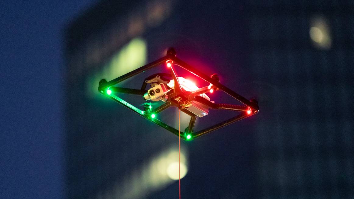
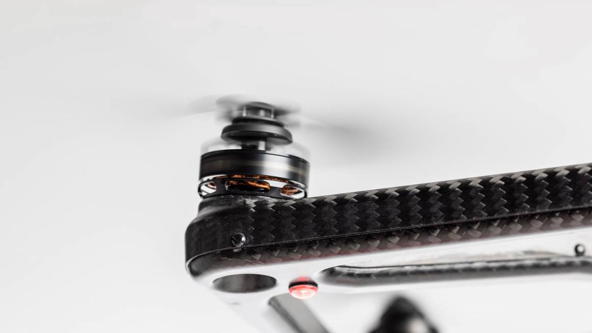
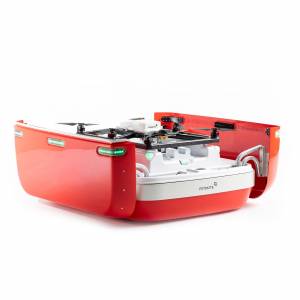
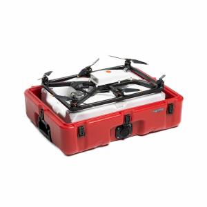
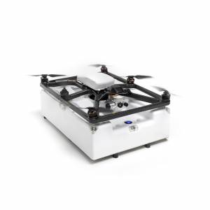
| Kite | 1.2kg (2.6lbs) take-off weight, weather sealed carbon fiber & advanced composites |
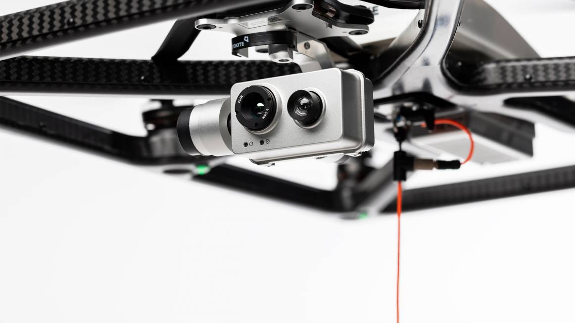
| Cameras | Thermal stream resolution of 320 x 240 / 27 fps. Can measure absolute temperature in range -40°C – 400°C, accuracy ± 5%. Low-light RGB stream resolution of 1080p (1920 x 1080) / 30 fps / 12 MP / 16x Zoom (0.5x widest – 16x most zoomed). |
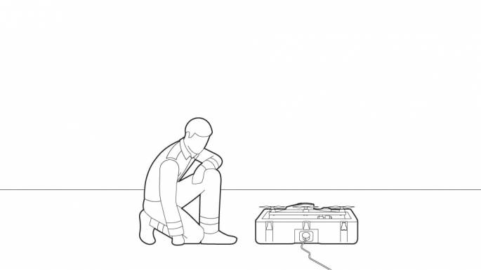
| Ground Station | 9kg (19.85lbs), single carry transport case configuration size: 504 x 352 x 230 mm (19.85 x 13.85 x 9.05 in) |
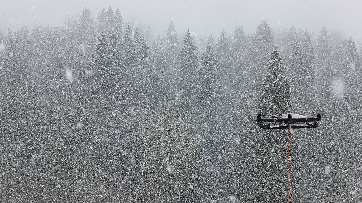
| Weather Rating | -10°C to 40°C (14°F to 104°F), IP55, ready to operate in rain, snow, & wind |
| Range | Max height of 45m (150ft) from the Ground Station |
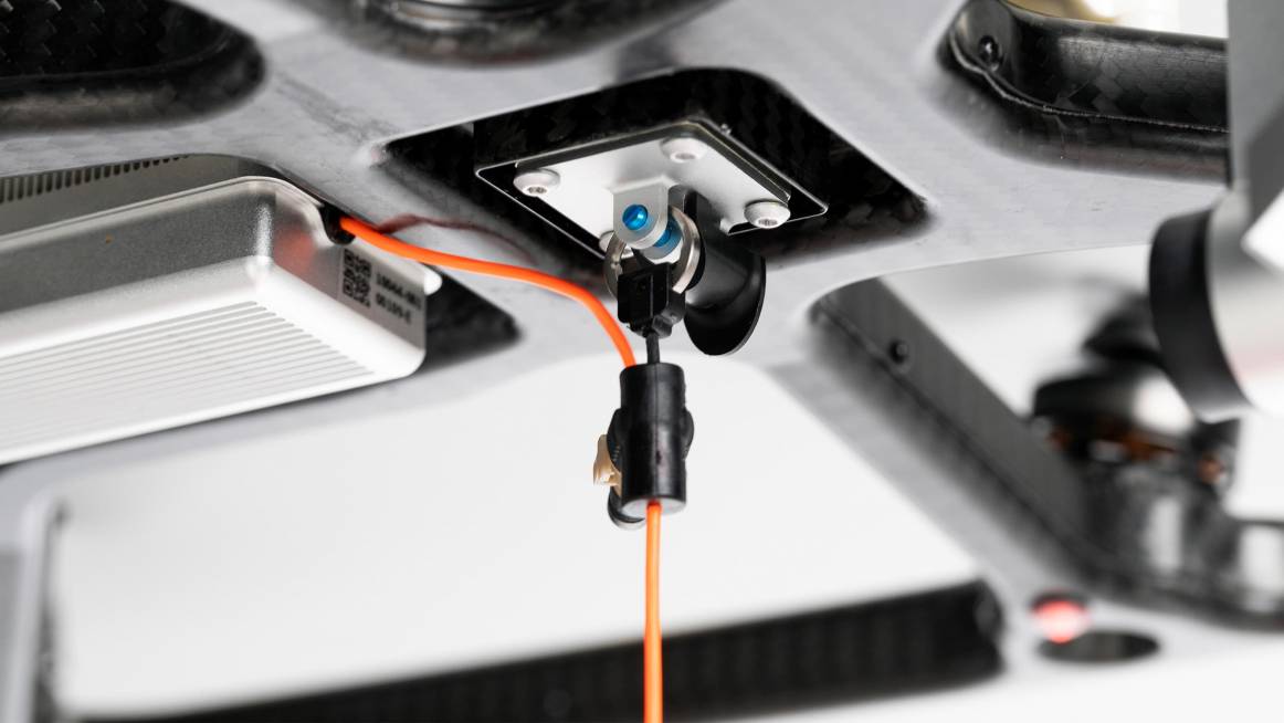
| Tether | Reinforced load rated ultrathin cable |
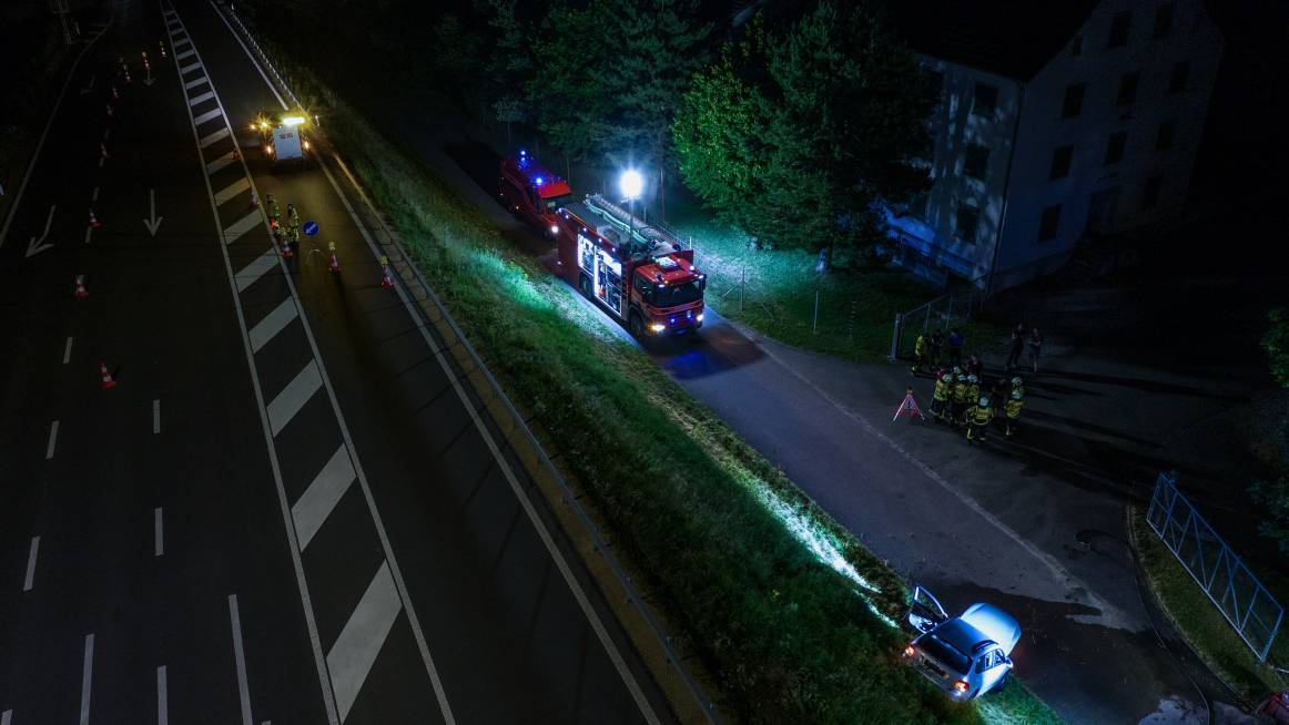
| LTE Modem & Video Streaming | Ethernet + WPA2 encrypted WiFi access point for live video streaming, plus integrated LTE Modem to stream live video remotely for mutual aid and remote incident command |
| Safety & Regulations Compliant | No piloting necessary; fully autonomous launching, flight, & landing |
| Security | Secure video streaming & control link to the ground station via tether cable |
| Flight Control | Fotokite Autopilot with no GPS dependency |
| System Reliability | Auto pre-flight system checks, single-motor failure redundancy, controlled descent, backup flight power system for up to 120 seconds, backup ground station power system for control & recovery in power blackouts, redundant flight control, tether separation detection, automatic maintenance alerts |